Services
From thermal diagnostics to construction progress, we provide data you can trust.
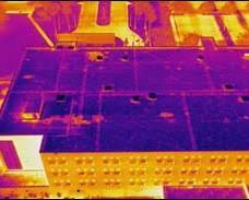

See the Unseen: Advanced Thermal Diagnostics.
The Problem: Water intrusion and energy leaks are often invisible until the damage is severe.
Our Solution: Using the Autel Evo Max 4T’s radiometric thermal sensors, we scan building envelopes and flat roof systems to visualize temperature variances. We pinpoint insulation failures and trapped moisture instantly, allowing for targeted repairs rather than total replacements.
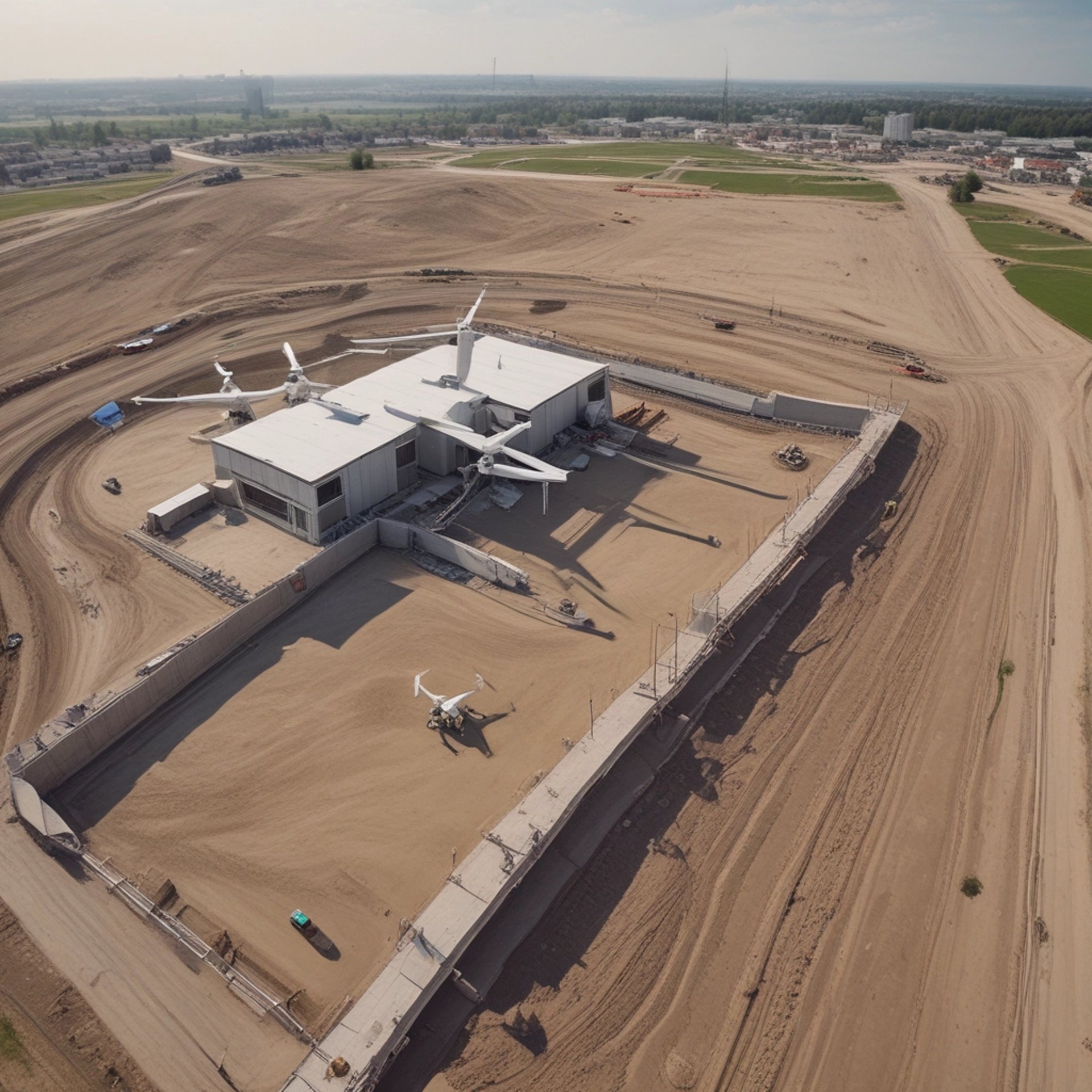
Construction Progress: Project Verification & Timeline Control
The Problem: Job sites are chaotic. Relying on ground-level photos leaves blind spots in your documentation.
Our Solution: We provide recurring high-definition aerial maps and timeline reports. From grading to structural steel, our data allows Project Managers to audit subcontractor performance, track material staging, and share indisputable progress updates with off-site stakeholders.
Key Benefit: Keep your project on the critical path and dispute delays with hard data.
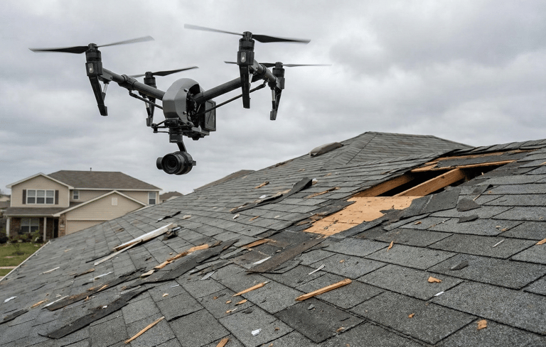
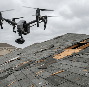
Roof & Storm Response: Residential & Commercial Assessment
The Problem: Manual roof inspections are dangerous, slow, and subjective.
Our Solution: TriStar deploys rapidly after weather events to capture comprehensive high-res imagery of every shingle, vent, and flashing. We deliver objective, detailed reports that streamline the insurance claims process and eliminate the safety risk of climbing ladders.
Key Benefit: Faster claims approval and zero liability risk for property managers.
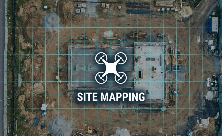
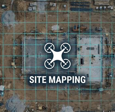
Site Mapping & 2D Orthomosaics
The Problem: Google Earth images are outdated, low-resolution, and often years old.
Our Solution: We fly your specific site to create high-resolution 2D orthomosaic maps that are current to the day. These interactive maps allow you to measure distances, plan logistics, and overlay CAD drawings directly onto real-world conditions.
Key Benefit: Up-to-date visual data for accurate site planning.
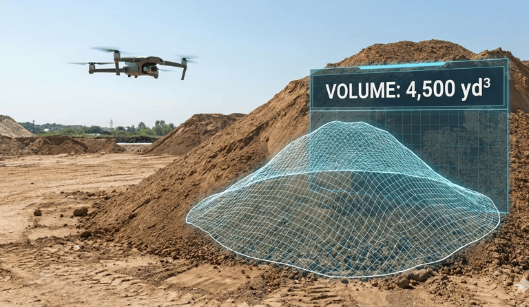
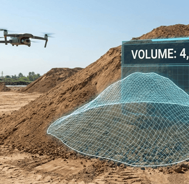
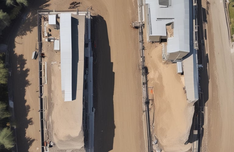
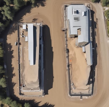
Stockpile & Volumetric Analysis
The Problem: Manually estimating aggregate piles is inaccurate and eats into profit margins.
Our Solution: Stop guessing and start measuring. Our aerial analysis calculates the precise volume of aggregate, soil, or debris piles. We provide detailed cut/fill reports that help you manage inventory and verify earthwork quantities with subcontractors.
Key Benefit: Accurate inventory tracking that protects your bottom line.


Commercial Property Marketing
The Problem: Ground-level photos can't show a property's greatest asset: its location.
Our Solution: We capture sweeping aerial views that contextualize your property within the community. Show investors exactly how close your site is to major highways, access points, and neighboring developments in a single, cinematic image.
Key Benefit: Sell the location, not just the building.
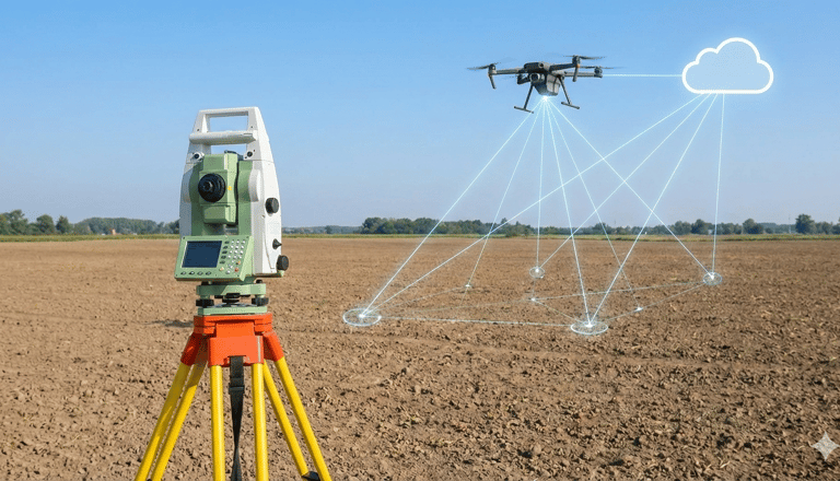
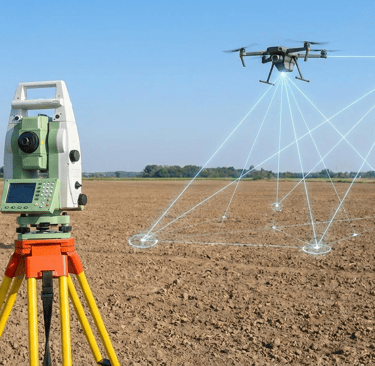
Surveying Support & Data Collection
The Problem: Walking a 50-acre site to capture topo data is slow, expensive, and sometimes dangerous.
Our Solution: We partner with licensed land surveyors to capture high-precision aerial photogrammetry. By utilizing Ground Control Points (GCPs) and RTK positioning, we deliver survey-grade point clouds and orthomosaics that your team can import directly into Pix4D.
Key Benefit: Capture large-scale topo data in hours, not days.