Tristar Aerial Solutions: Precision from Above
At Tristar Aerial Solutions, our portfolio represents more than just images; it is a catalog of accurate data and actionable insights. Based in Mt. Juliet and serving Middle Tennessee, we partner with general contractors, civil engineers, and developers to deliver a higher standard of aerial intelligence.
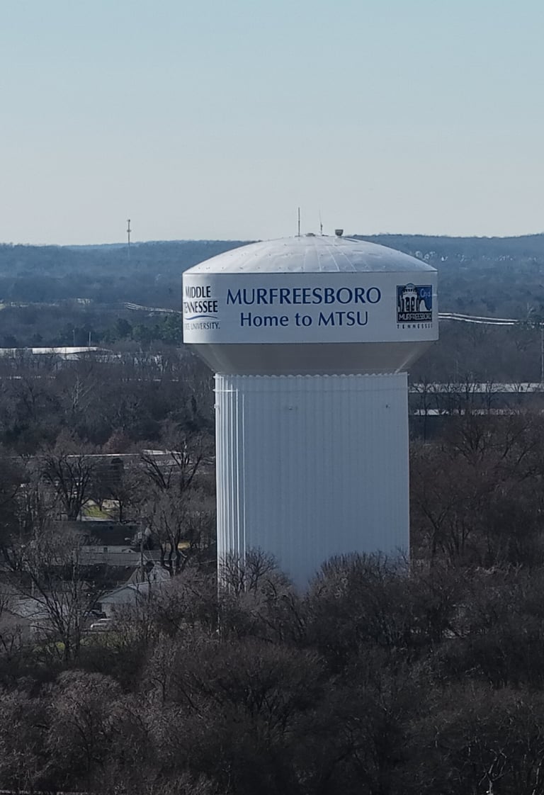
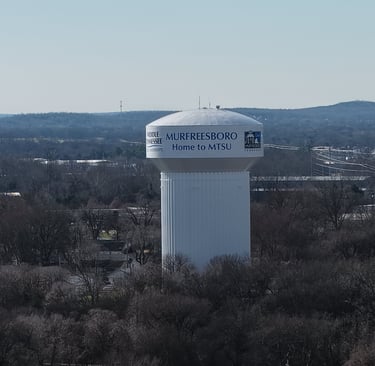
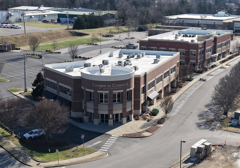
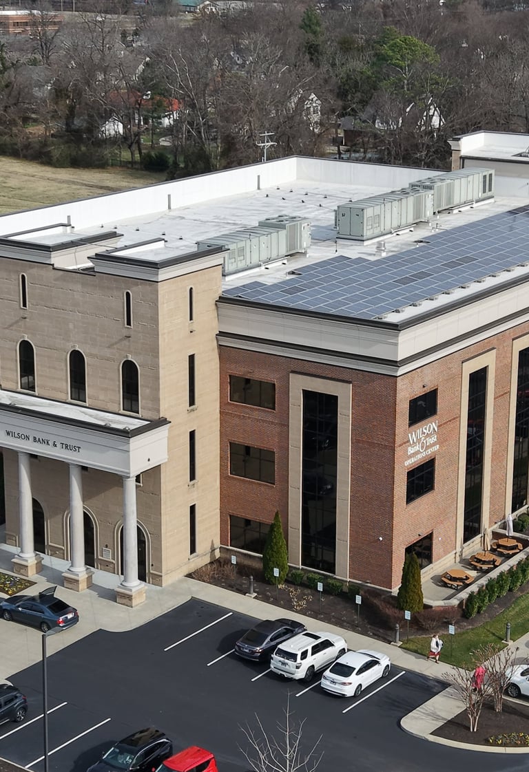
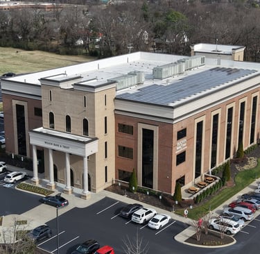
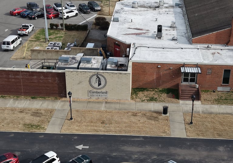
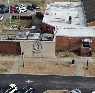
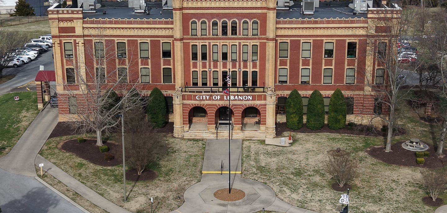
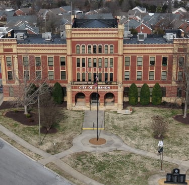
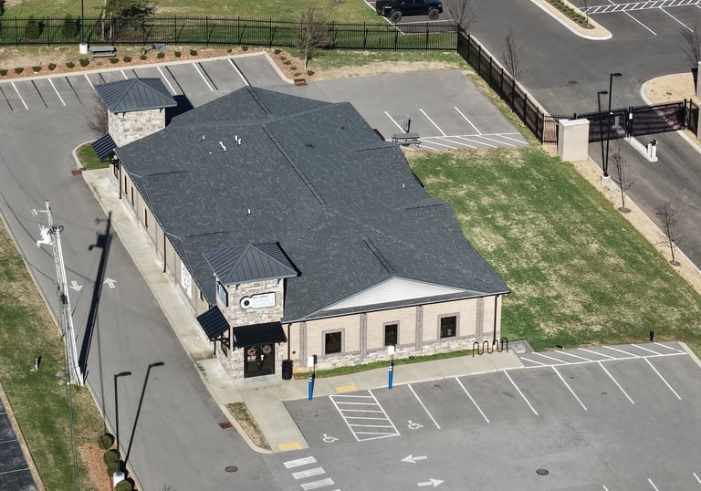
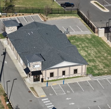
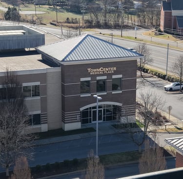
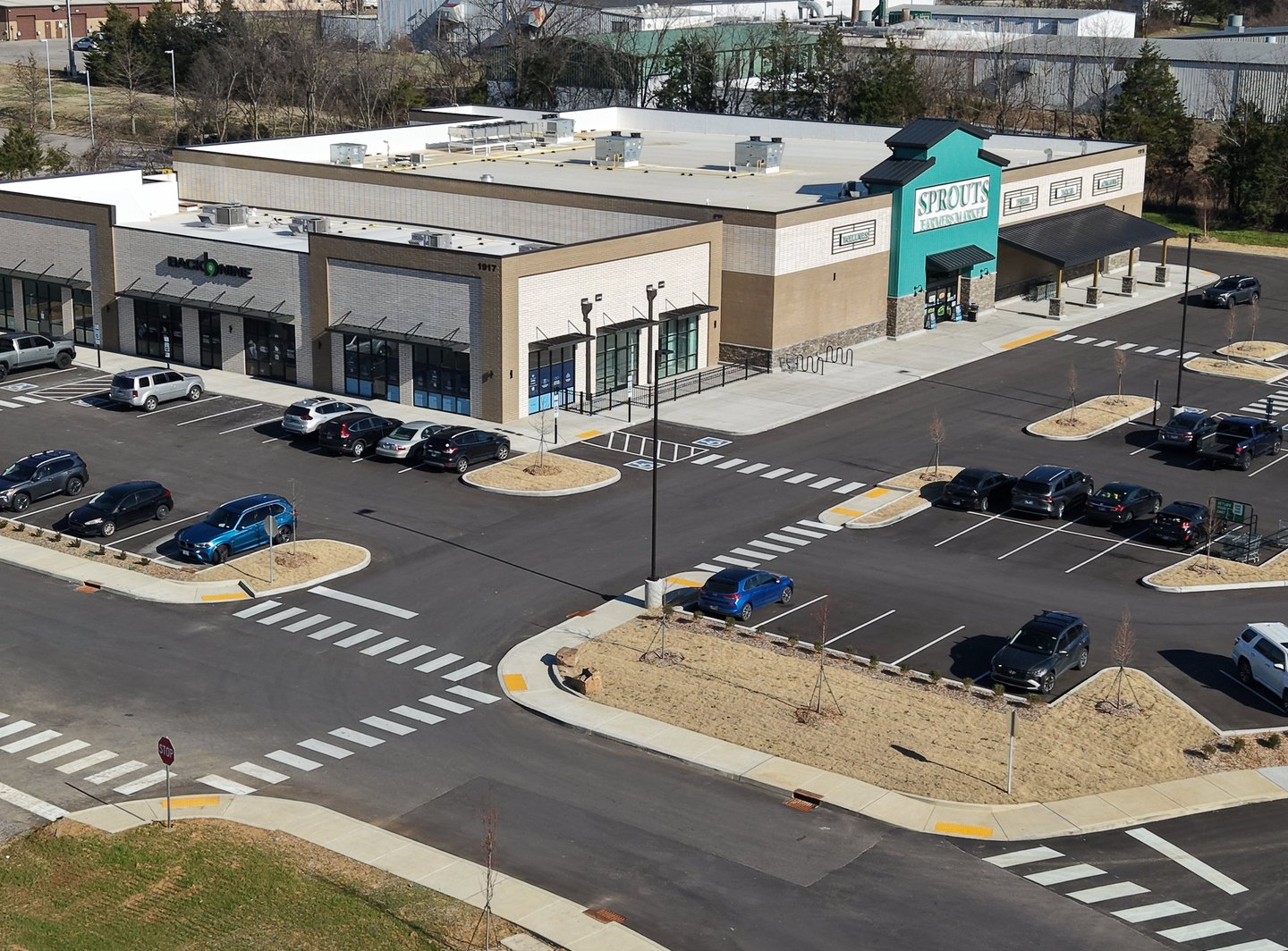
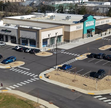
Construction Progress Monitoring Visibility is accountability. We act as the "eye in the sky" for project stakeholders, capturing high-resolution imagery at every stage of development. Our timeline data provides an indisputable record of site activity, helping you track milestones, manage subcontractors, and reduce disputes—keeping investors informed from anywhere in the world.
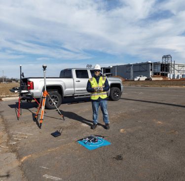
Survey-Grade Mapping & Orthomosaics Precision is our cornerstone. Using advanced RTK technology, we deliver survey-grade orthomosaics that serve as true-to-scale digital twins. These engineering-level maps allow site superintendents to overlay CAD drawings on real-world conditions, verifying setbacks and identifying clashes before they become costly rework.
Volumetric Analysis & Earthworks For mining and aggregate clients, we revolutionize inventory management. Our aerial photogrammetry calculates cut-and-fill volumes and stockpile inventory with 99% accuracy. We turn millions of data points into simple reports, helping financial teams and site managers optimize logistics without the safety risks of manual measurement.
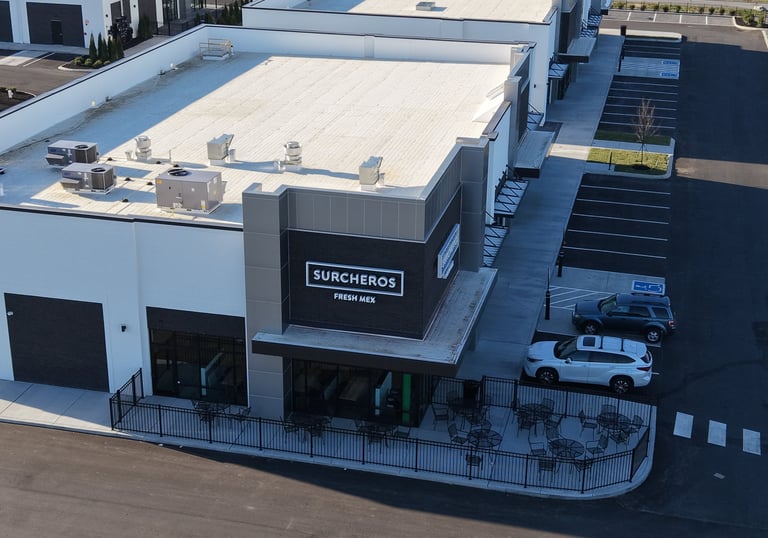
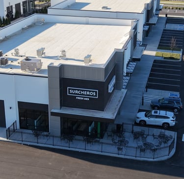
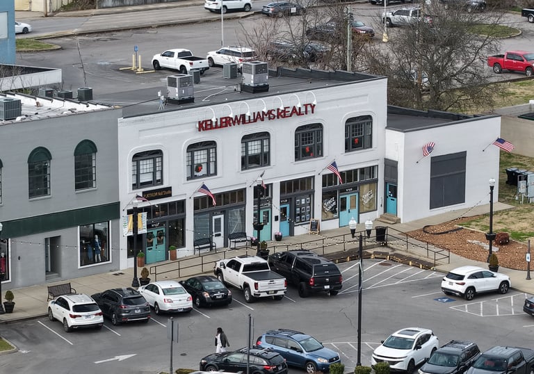
Cinematic Videography & Inspections Beyond data, we capture the scale of your success. Our 4K cinematic videography creates immersive assets for commercial real estate and marketing. We also conduct safe, high-resolution inspections of roofing and infrastructure, assessing hard-to-reach assets without the need for climbing.
Every project in our portfolio proves that the best view of your business is from above.