Commercial Aerial Data Services in Middle Tennessee
Integrity. Precision. Altitude.
________________________________________________________________________________
TriStar Aerial Solutions is not a licensed surveying firm. We work closely with developers, contractors, and engineers to provide high-accuracy drone data supporting site planning, progress tracking, and verification.

Our Services
Precision drone work tailored for construction and inspections.
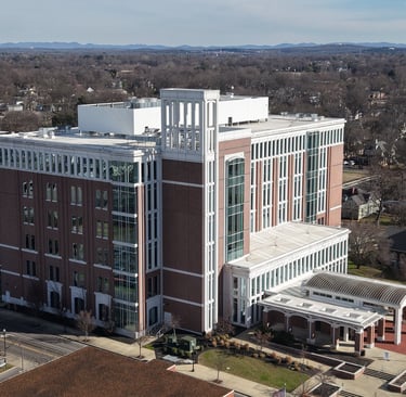
Property & Site Documentation
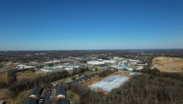
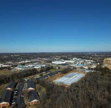
High-resolution aerial documentation supporting property assessment, site planning, and project verification for commercial and industrial properties.

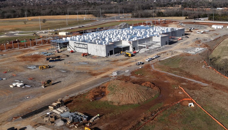
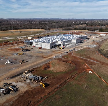
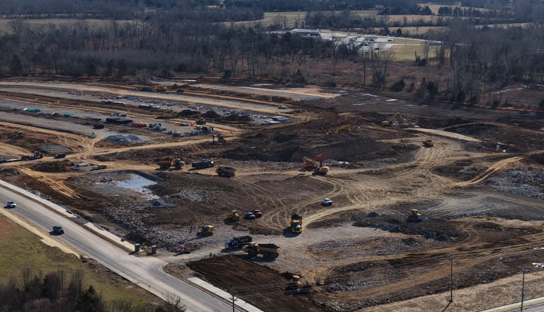
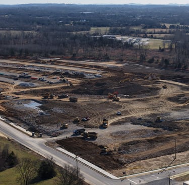
Construction
Monitoring progress is crucial in any construction project to ensure that potential risks are identified and addressed before they escalate into serious issues. Regular updates allow for early detection of problems and can save both time and money, ensuring that the project stays on track.
Drones save time, money, and energy by far inspection, reducing risk while also enhancing overall operational efficiency and providing a unique perspective on the tasks at hand. With advanced technologies, they can cover vast areas in a fraction of the time it would take traditional methods, making them indispensable tools for modern industries involved in inspections, monitoring, and surveying.
Inspections


Mapping
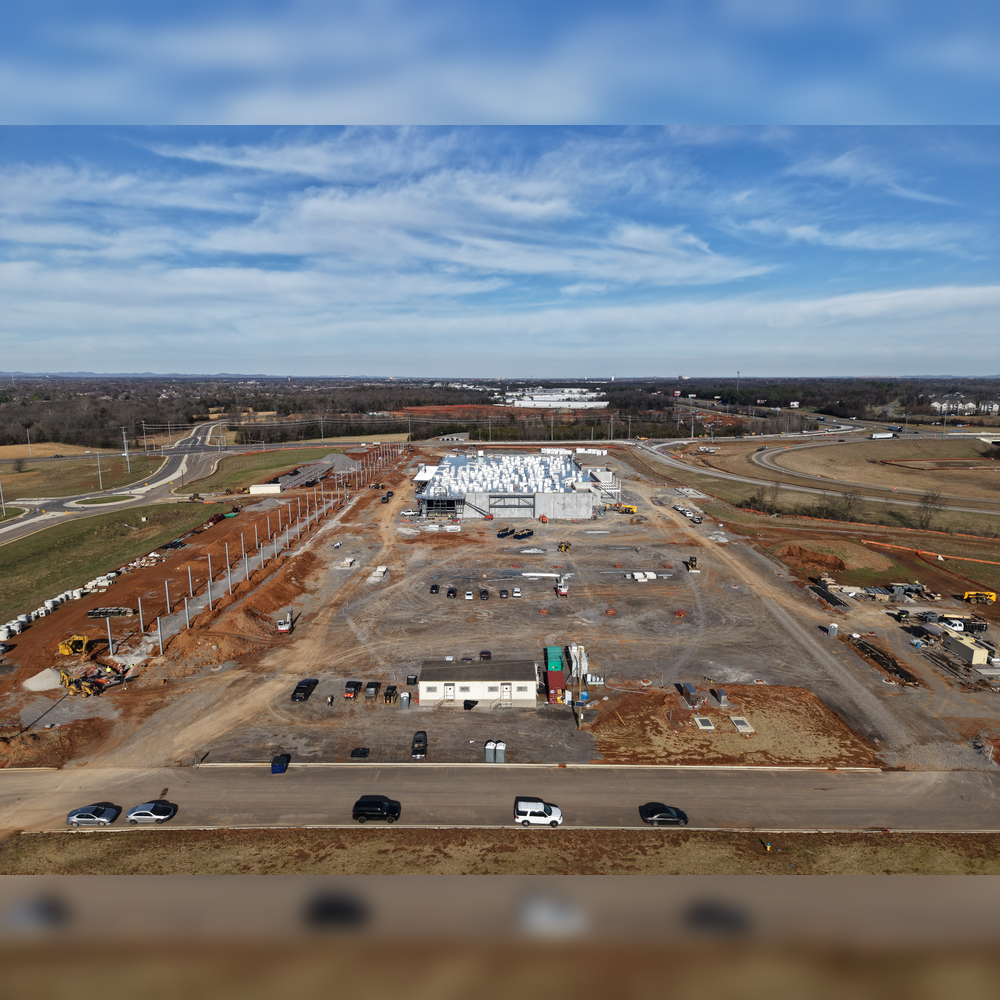
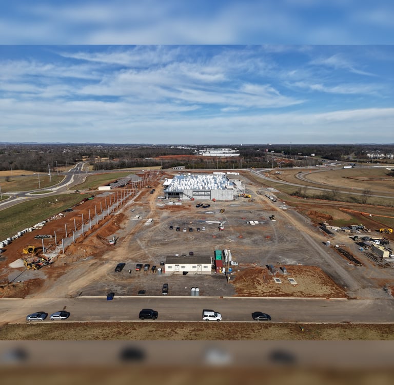
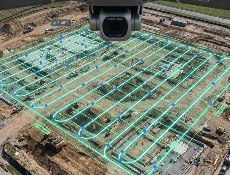
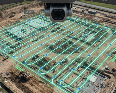
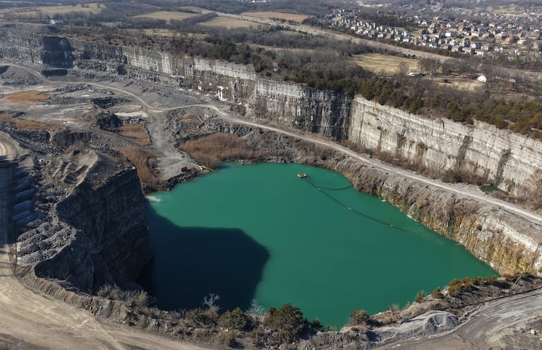
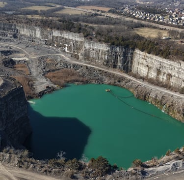
Turn your job site into actionable data. We utilize advanced aerial photogrammetry to create high-resolution 2D orthomosaics and interactive 3D models. This allows project managers to track construction progress, monitor earthwork, and visualize site changes with incredible detail—all without disrupting ground operations.
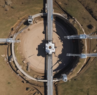
Surveying
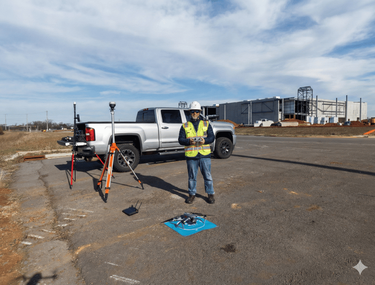
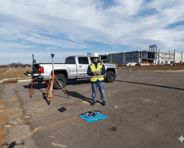
Surveying Support & Data Collection We partner with licensed land surveyors and civil engineers to capture high-resolution aerial photogrammetry. By utilizing ground control points (GCPs) and RTK positioning, we provide survey-grade visual data that helps teams cover large sites faster and safer than traditional ground methods alone.
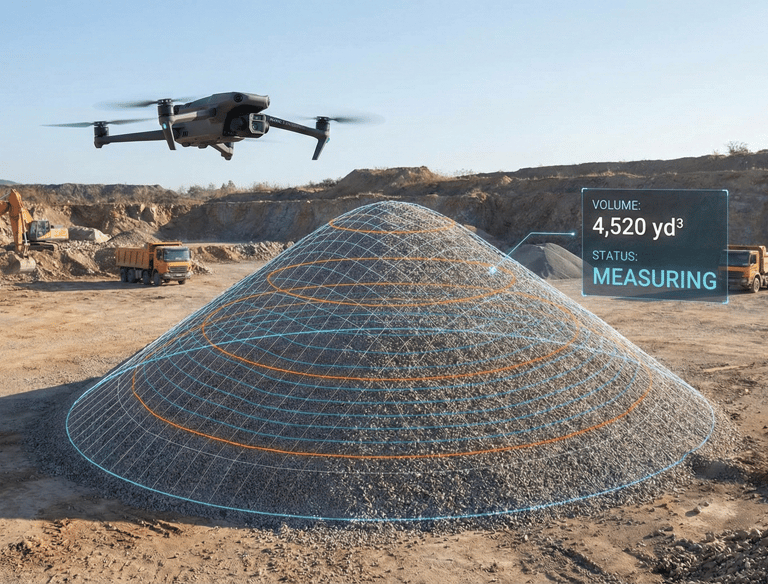
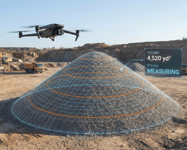
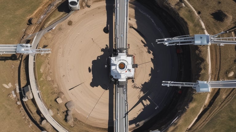
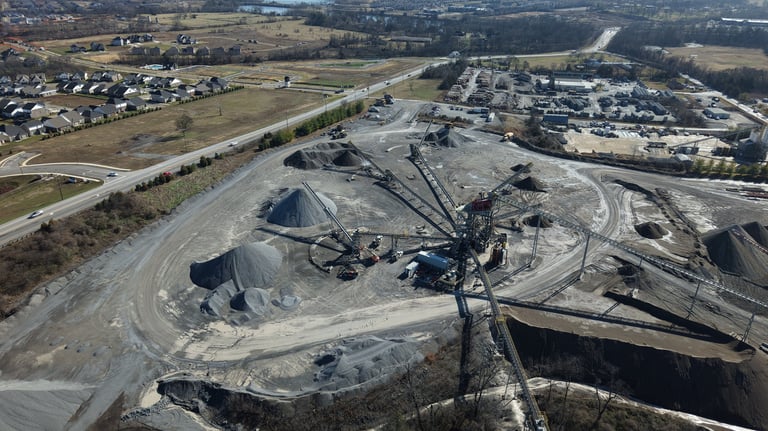
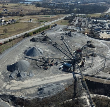
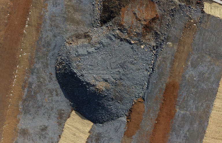
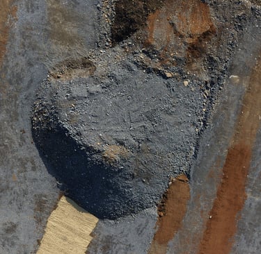
Volumetric Measurements
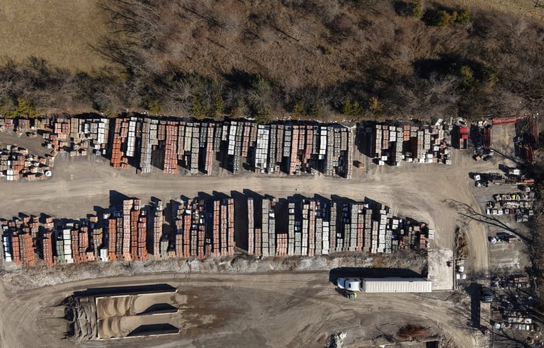
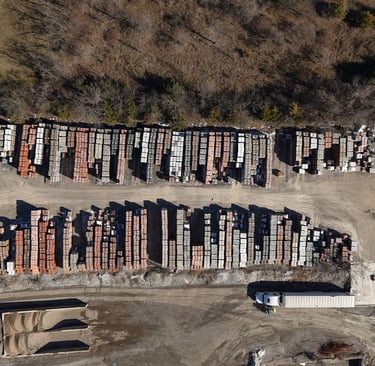
Stockpile & Inventory Management
Stop guessing and start measuring. We provide precise stockpile calculations for inventory management and earthwork analysis. Our aerial data can measure the volume of aggregate, soil, or debris piles in minutes, giving site managers accurate reports without the need for manual climbing

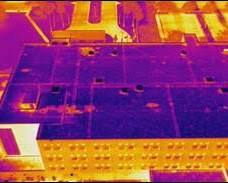
Thermal Inspections
See the Unseen: Advanced Thermal Diagnostics Identify critical issues before they become costly failures. Using high-resolution radiometric thermal sensors, we perform non-destructive inspections to visualize temperature differentials on building envelopes, roof systems, and electrical infrastructure. We help facility managers pinpoint water intrusion and energy loss that are invisible to the naked eye.

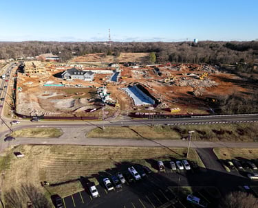
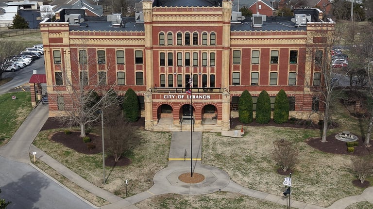
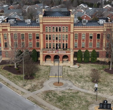
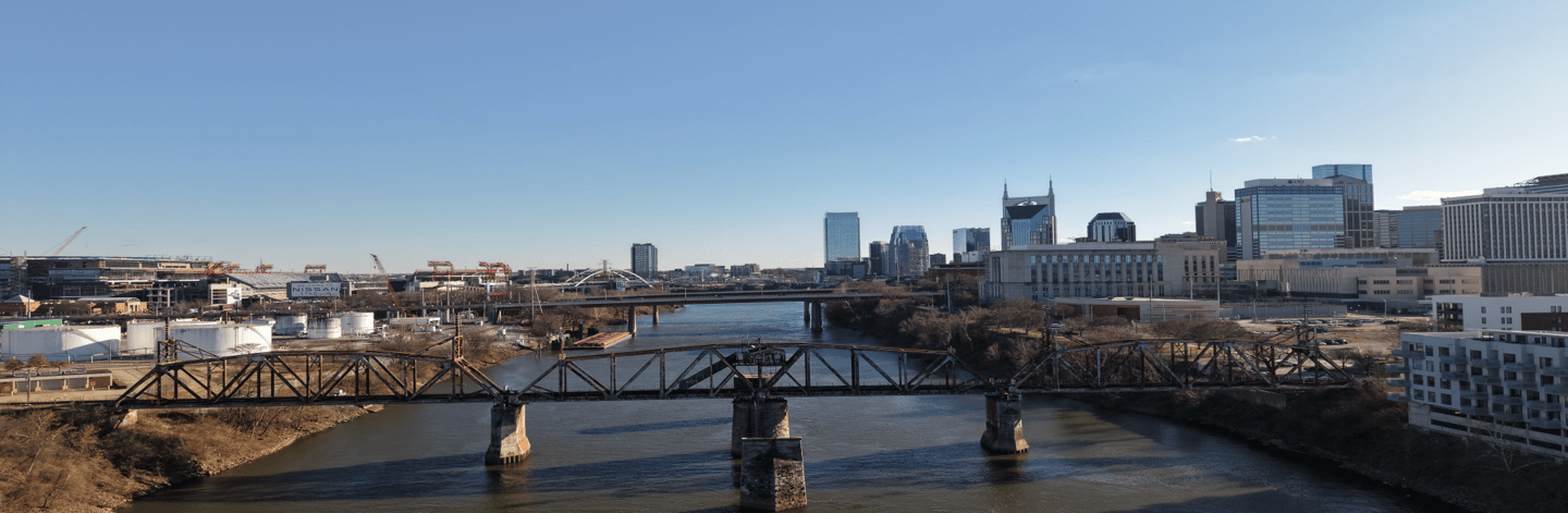
Photo Gallery


About Us
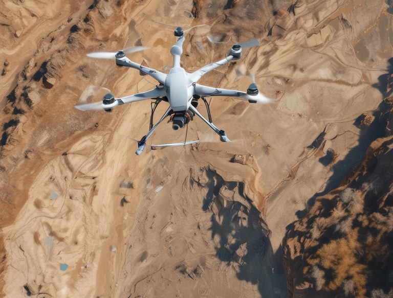
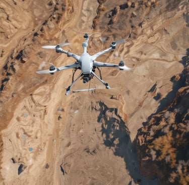
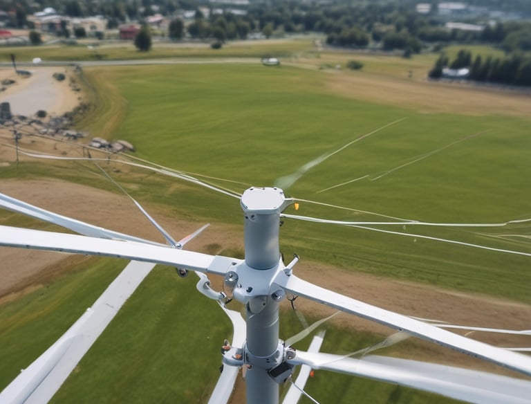
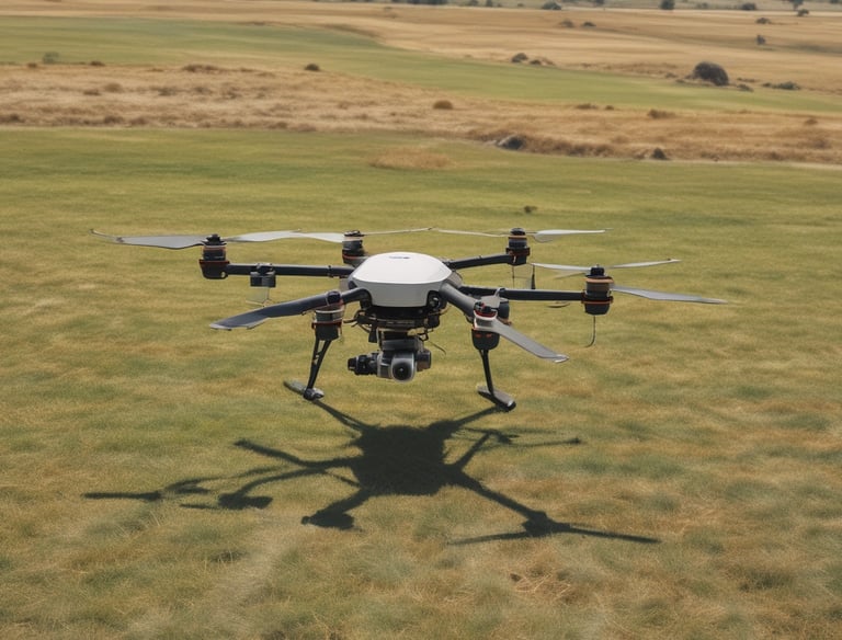
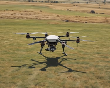
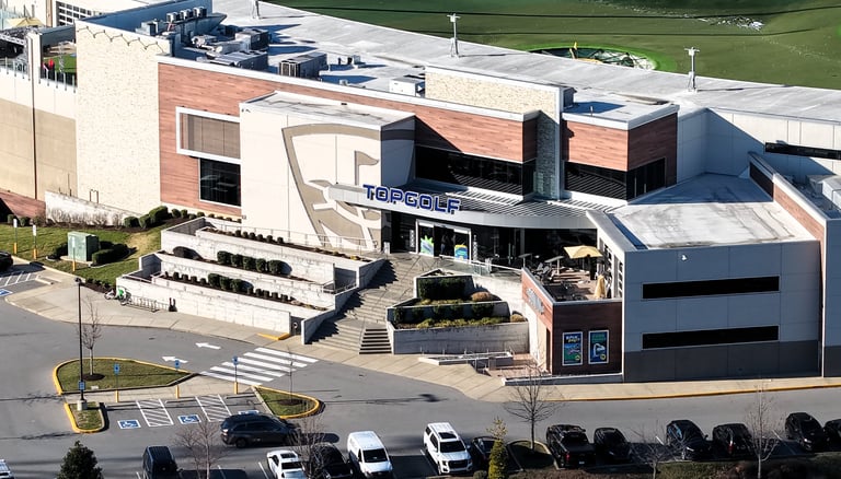
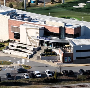
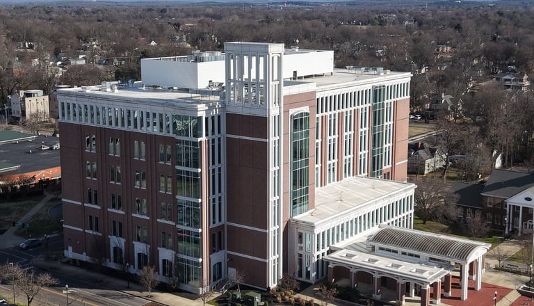
Based in Mt. Juliet, Tennessee, TriStar Aerial Solutions bridges the gap between traditional site management and modern aerial intelligence to maximize site efficiency for every project. We don’t just capture images; we provide actionable data that helps developers, engineers, and facility managers make smarter, data-driven decisions. Our approach is defined by precision and local expertise across the Middle Tennessee region. Utilizing enterprise-grade hardware, we deploy the Autel Evo Max 4T as our primary tool for high-accuracy RTK mapping and radiometric thermal inspections. These specialized RTK missions are anchored by our Emlid Reach RS2+ GNSS receivers, ensuring centimeter-level "ground truth" for topographic surveys and volumetric analysis. For clients requiring high-impact visual storytelling, our DJI Air 3S delivers cinematic 4K video and high-resolution photography, perfect for construction site progression and real estate marketing. Our portfolio demonstrates this versatility, from documenting the massive horizontal grading at the Murfreesboro Buc-ee’s to inspecting vertical framing for residential complexes in Hermitage. We are also experts in urban structural inspections, providing detailed facade assessments for iconic landmarks like the L&C Tower in downtown Nashville. By integrating these advanced technologies, we provide an indisputable visual record that reduces project delays and earthwork errors. As FAA Part 107 certified pilots, safety and regulatory compliance are at the forefront of every mission we undertake in Lebanon, Mt. Juliet, and beyond. TriStar Aerial Solutions is your trusted partner in the sky, transforming complex job sites into clear, manageable data streams. We are dedicated to empowering our clients with survey-grade orthomosaics and comprehensive reports that drive operational excellence throughout Middle Tennessee.